In Glendale, we often see projects that underestimate the complexity of the Verdugo Mountains' foothill geology until grading exposes weak claystone layers or ancient landslide debris. A proper slope stability analysis goes beyond limit equilibrium calculations—it requires direct measurement of shear strength parameters from undisturbed samples extracted via test pits or borings, correlated with the site's groundwater conditions. Our team integrates field observations, laboratory triaxial testing, and stereographic projections to deliver a factor of safety that reflects actual site conditions rather than idealized textbook assumptions. For the city's hillside ordinance compliance, we document every step from exploration to remediation recommendations.
A factor of safety of 1.0 means failure is imminent—we design for a minimum static FoS of 1.5 and a pseudostatic FoS of 1.1 under the design earthquake specified in ASCE 7.
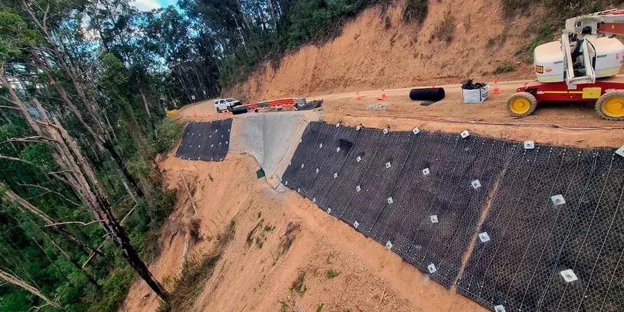
Scope of work in Glendale California
Risks and considerations in Glendale California
Glendale's 2023 Local Hazard Mitigation Plan identifies over 1,200 parcels within mapped landslide zones, a number that has grown with each new LiDAR survey of the San Rafael Hills. The most critical risk we encounter is not the obvious slide plane but the gradual strain-softening in overconsolidated clays that reduces peak strength to residual values over decades—undetectable without inclinometer monitoring. When an excavation removes lateral support or landscape irrigation raises pore pressures, a slope that appeared stable for 40 years can mobilize catastrophically during a moderate rainstorm. Our analysis cross-references historical aerial photos from 1928 onward with current CPTu data to distinguish ancient dormant slides from stable formations, because the difference determines whether a site requires deep shear keys, horizontal drains, or complete avoidance of the hazard area.
Our services
Our slope stability assessment in Glendale is a multi-phase effort that starts with subsurface investigation and continues through construction monitoring. We tailor the scope to the hillside ordinance requirements and the specific failure mode suspected.
Limit Equilibrium and Finite Element Analysis
We construct detailed geologic models from borehole logs and geophysical profiles, then apply Spencer's method for rotational slides and Janbu's simplified for translational failures. For complex bench cuts in the Verdugo Formation, we run PLAXIS 2D finite element simulations to capture stress redistribution during staged excavation.
Post-Construction Inclinometer and Piezometer Monitoring
After remediation, we install dual-axis in-place inclinometers and datalogger-connected piezometers that transmit readings via cellular modem. This lets us verify that horizontal drains are functioning and that the slope is not accelerating during the first critical rainy season.
Common questions
When does the City of Glendale require a slope stability report?
Glendale's Building and Safety Division triggers a geotechnical review for any proposed grading on slopes steeper than 3:1 (horizontal:vertical) or within a mapped potential landslide area identified in the Safety Element of the General Plan. The report must demonstrate a minimum static factor of safety of 1.5 and a pseudostatic factor of safety of 1.1 under the seismic coefficient derived from site-specific ASCE 7-22 ground motion parameters.
What is the typical cost range for a slope stability analysis in Glendale?
A comprehensive analysis for a single-family residential hillside lot typically ranges from US$1,350 for a desktop review with limited field verification to US$4,160 for a full investigation involving borings, laboratory shear testing, and 2D numerical modeling. The final cost depends on access constraints in the canyon areas and the number of samples required for statistical validity.
How do you account for seismic loading in Glendale's hillsides?
We use the ASCE 7-22 mapped spectral accelerations for the site's coordinates, adjusted for site class, to derive the horizontal pseudostatic coefficient (kh). The earthquake-induced permanent displacement is then estimated using the Newmark sliding block method, and we correlate that with allowable displacement criteria from the IBC—typically limiting movement to less than 2 inches for a 475-year return period event.