ASCE 7-22 Section 11.4.8 mandates site-specific ground motion analysis when Site Class F conditions are present, and across Glendale's complex alluvial fans and foothill terrain this is more common than many developers realize. The Verdugo Fault runs just north of the city, and the Raymond Fault cuts through the southern edge. With a population of over 196,000 spread across 30 square miles, Glendale sits within the seismically active Los Angeles Basin. Our team conducts seismic microzonation studies that go beyond the generalized USGS hazard maps. We quantify basin edge effects, topographic amplification, and the impedance contrast between the dense alluvium and the softer sediments that fill the San Fernando Valley side of the city. For projects near the Verdugo Mountains, where shallow bedrock can amplify short-period shaking, the difference between a code-default spectrum and a site-specific spectrum often exceeds 40% in the 0.2-second range. That difference drives foundation design decisions, and getting it wrong is not an option when structural periods align with amplified ground motion.
In Glendale, the difference between a code-default spectrum and a site-specific one can exceed 40% at short periods, directly impacting structural design forces and foundation sizing.
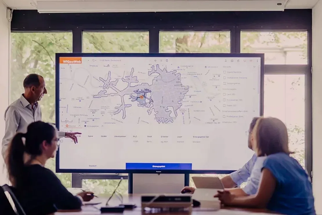
Scope of work in Glendale California
Risks and considerations in Glendale California
Glendale experienced significant ground shaking during the 1971 San Fernando earthquake (M6.6), and the 1994 Northridge earthquake (M6.7) caused widespread damage just 15 miles west. The city's Building and Safety Division now requires site-specific seismic hazard analysis for any structure taller than 160 feet or assigned to Risk Category III or IV, per the 2022 California Building Code amendments. The biggest hidden risk sits at the base of the Verdugo Mountains, where alluvial fan deposits mask a paleo-topography that creates a strong velocity gradient. This basin-edge effect can amplify long-period ground motion by a factor of 1.5 to 2.0 compared to a flat-layer assumption. Without a seismic microzonation study, the design spectrum may underestimate the demand on mid-rise structures by 30% or more. Our reports quantify this amplification directly, giving the structural engineer the correct spectral ordinates for modal analysis. For developers working on the Glendale-Burbank border near the Golden State Freeway, we also evaluate the risk of co-seismic settlement in the sandy fill that underlies many commercial parcels there.
Our services
Our seismic microzonation work in Glendale integrates field investigation, laboratory testing, and advanced numerical modeling. We deliver a single, coherent report that the city plan checker and the project structural engineer can use immediately. The three core components are:
Site-Specific Ground Response Analysis
We measure Vs30 with MASW or downhole seismic, develop modulus reduction and damping curves from resonant column tests on undisturbed samples, and run 1D equivalent-linear analysis to produce the site-specific design spectrum. The output includes UHS and CMS for return periods from 475 to 2,475 years, formatted for direct use in ETABS or SAP2000.
Liquefaction Potential Evaluation
For sites with shallow groundwater and saturated sands, we execute the full simplified procedure: SPT blow counts, fines content from grain size analysis, and cyclic stress ratio calculation corrected for magnitude and overburden. We map the factor of safety against liquefaction with depth and estimate post-liquefaction settlement per Ishihara and Yoshimine (1992).
Seismic Slope Stability and Coseismic Displacement
On hillside lots in the San Rafael Hills and Verdugo Mountains, we combine limit-equilibrium slope stability analysis with Newmark sliding block displacement calculations. The seismic coefficient (ky) is derived from the site-specific ground acceleration, and the predicted displacement informs the need for retaining structures or ground improvement.
Common questions
When does the City of Glendale require a site-specific seismic hazard analysis instead of using the USGS hazard maps?
The Glendale Building and Safety Division, enforcing the 2022 California Building Code, requires site-specific analysis when Site Class F conditions are present (per ASCE 7-22 Table 20.3-1), for structures over 160 feet in height, for Risk Category III or IV structures, and for sites within 2 km of an active fault. The Verdugo and Raymond faults both cross the city, making this a common trigger.
What is the typical cost range for a seismic microzonation study on a standard commercial lot in Glendale?
For a typical commercial parcel in Glendale, the complete seismic microzonation package including field geophysics, SPT drilling, laboratory dynamics testing, and the response analysis report ranges from US$4,260 to US$14,730. The final cost depends on the depth to the engineering bedrock, the number of boreholes, and whether 2D effects need to be modeled.
How does a site-specific spectrum differ from the ASCE 7 design spectrum for Glendale?
The ASCE 7 multi-period response spectrum is based on a generic Site Class assumption. A site-specific spectrum captures the actual impedance layering beneath your parcel. In Glendale, sites near the Verdugo Mountain front often show amplification at short periods (0.1-0.3s) that exceeds the code-default by 30-50%, while deep alluvial sites in the south show a shift toward longer-period amplification. The site-specific spectrum is more accurate for modal analysis and base shear calculation.
What field data do you need to collect on my Glendale site before running the ground response analysis?
We need a measured shear wave velocity profile to at least 100 ft depth (or to engineering bedrock) via MASW or downhole seismic, standard penetration test (SPT) data from a geotechnical boring to define the soil layering and density, Atterberg limits and grain size distribution to classify the soils per ASTM D2487, and undisturbed samples for resonant column testing to define the modulus reduction and damping curves. If groundwater is within 50 ft of the surface, we also collect SPT data for liquefaction triggering analysis. More info.