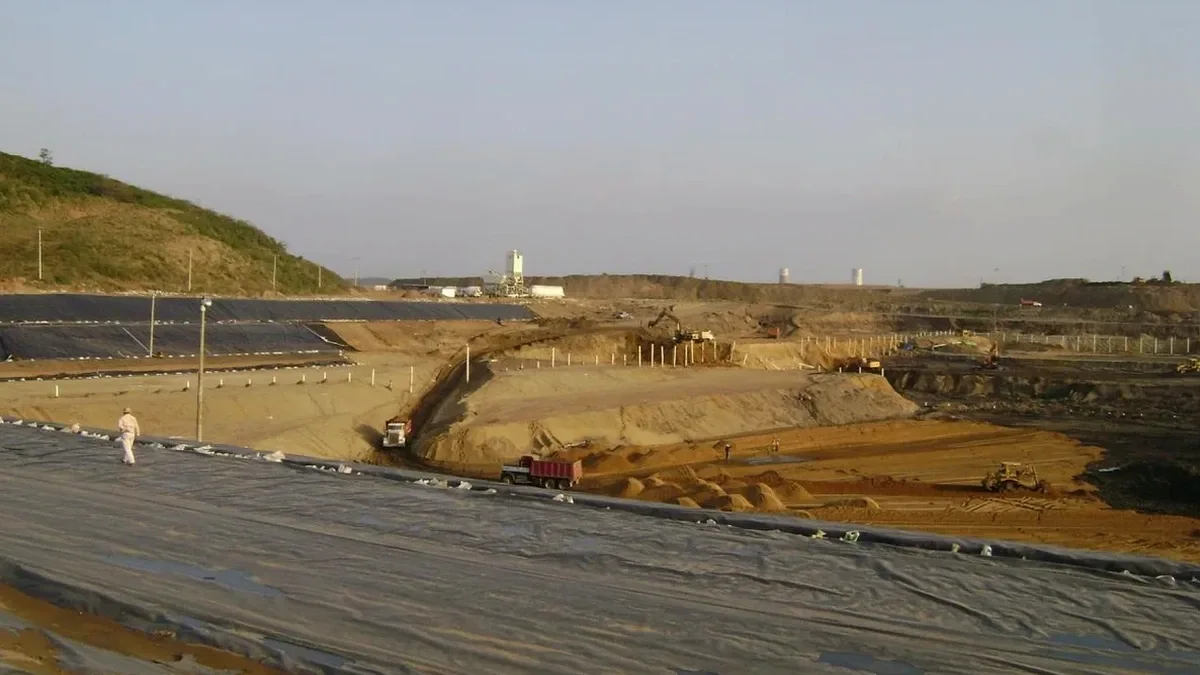
Glendale sits on a complex transition between the alluvial fans of the Verdugo Mountains and the San Rafael Hills, where colluvium intermixes with silty sands and occasional cobble layers. In our lab, we routinely see that the shear strength of these deposits shifts dramatically within just 10 vertical feet. For a deep excavation on Brand Boulevard or near the Americana, that means your shoring design cannot rely on textbook assumptions. We correlate CPT test profiles with undisturbed sampling to map where the colluvial interface begins, and we use that geotechnical model to size tiebacks that won't creep under the long-term loads of a 35-foot cut. The city’s building officials expect a submittal that references the current IBC and ASCE 7 load combinations, so our reports walk through every limit state explicitly.
In Glendale’s colluvial soils, a 30-foot excavation isn’t just a retaining problem — it’s a perched water and paleochannel problem wrapped in one.
Scope of work in Glendale California
Risks and considerations in Glendale California
When we mobilize a CPT rig on Central Avenue, the first thing we look for is refusal on cobbles — and it happens. A cone that hits a boulder at minus 18 feet in a 30-foot design section forces us to switch from a CPT-based friction angle to a boring-based SPT correlation, and that changes the apparent earth pressure envelope you feed into the beam-on-elastic-foundation analysis. The biggest risk we see in Glendale is not designing for the 85th percentile lateral load: a contractor bids the job with a lean shoring section, hits a loose sand lens, and the wall deflects enough to crack a neighboring footing. We avoid that by running multiple limit-equilibrium cross sections, checking the strut preload loss under thermal contraction, and specifying inclinometer readings at 48-hour intervals during bulk excavation. A single unread inclinometer cassette on a Friday afternoon has led to a Monday morning emergency — we’ve been on that call.
Our services
Our deep excavation design package in Glendale goes beyond the shoring section — we deliver a complete construction-phase geotechnical service that keeps the cut stable and the adjacent properties protected.
Shoring design and constructability review
We develop the lateral earth pressure diagrams, size the soldier piles or secant piles, and detail the tieback bond lengths. Our team also reviews the contractor's means and methods to confirm that the proposed sequencing doesn't compromise the global factor of safety.
Instrumentation and monitoring plans
We write the monitoring schedule, set the alarm thresholds for inclinometers and survey prisms, and train the site team to spot early deflection trends. If a reading drifts, we can trigger a contingency grouting program before the movement becomes structural damage.
Common questions
How much does a geotechnical design for a deep excavation in Glendale typically cost?
For a mid-rise or commercial deep excavation in Glendale (15 to 45 ft depth), the full package — field investigation, lab testing, shoring analysis, and stamped report — usually runs between US$2,150 and US$7,530. The spread depends on how many borings or CPT soundings are needed, whether we have to install piezometers for perched water, and the complexity of the tieback or strut analysis.
What seismic provisions apply to a deep excavation in California?
We follow ASCE 7-22 Chapter 21 for site-specific ground motions. The shoring system is checked for the seismic increment of earth pressure, and we model the tieback preload loss under cyclic degradation. In Glendale, site class D is common, but if deeper shear wave velocity profiling reveals a softer layer, we adjust the response spectrum and re-run the wall deflection analysis.
How do you handle groundwater during a deep dig in Glendale?
We first characterize the hydrostratigraphy — is the water in a continuous sand layer or trapped in a paleochannel lens? Depending on the answer, we design either a deep well system with submersible pumps, a vacuum-assisted wellpoint network for silty soils, or a jet grout bottom seal if the permeability is low and the cut is deep. The dewatering plan is modeled in SEEP/W and the drawdown is confirmed with monitoring wells before the first shovel hits the ground.
What monitoring is required during a deep excavation in Glendale?
At minimum, we specify inclinometers behind the shoring wall and optical survey targets on the face of the wall and on adjacent buildings. Readings are taken every 48 hours during bulk excavation and weekly once the final subgrade is reached. If the wall deflection exceeds 0.5% of the excavation height, we recommend contingency measures like additional tiebacks or a berm cut, and we notify the structural engineer of record immediately.